
A white Christmas could arrive late for portions of the West, including Southern California mountains, but it appeared to be giving the Seattle area a rare show Saturday afternoon.
There were multiple reports of snow falling in the Seattle, with the National Weather Service saying “snowy, difficult travel” should be expected on local roads.
A “seemingly endless” pattern of low pressure fronts from the Pacific were striking the West Coast with cold storms expected through midweek, federal forecasters said.
Snow was also reported in the Portland, Oregon, area, where “cold arctic air” was moving in, forecasters said.
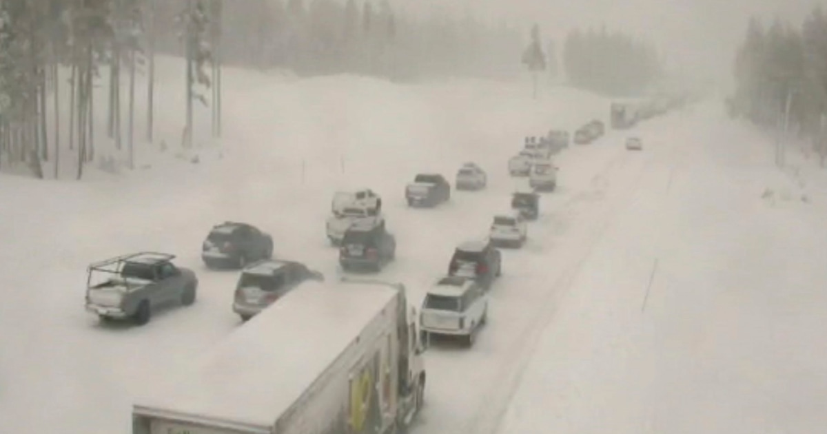
There was “heavy, intense snowfall” Saturday in the Tahoe Basin and in Reno, Nevada, the local weather service office said. For the second day in a row Interstate 80 was closed near Donner Summit, the California Highway Patrol said. Low visibility was blamed.
Bands of rain and thunderstorms moved through the Bay Area on Saturday. A flood advisory for San Francisco was canceled in the late afternoon.
Winter storm warnings were in effect or planned for late Saturday from the Canadian border to the Mexican border.
Snow covered roughly a fourth of the nation Saturday, but it had yet to make a promised return to the foothills of Southern California, where plummeting temperatures and a new band of moisture were expected to produce palm tree-adjacent snow by late night.
“We’re expecting a front that could drop the snow level to 3,500 feet,” said Tom Fisher, a National Weather Service meteorologist based in Oxnard, California.
Even San Diego, where snow is rare, a glimpse of powder was possible, but it might come too late to count as a white Christmas.
“We could get a light dusting in San Diego County mountains” overnight, said weather service meteorologist Casey Oswant.
Meanwhile, temperatures continued to soar in parts of the the Southern Plains. Federal forecasters blamed an “anomalously warm low-level thermal ridge.”
“Record-breaking high temperatures are likely from the Southern Plains to the Mid-Atlantic” on Sunday, the National Weather Service said.
“Much of the South remains remarkably warm as highs soar into the 80s once again in Texas and Oklahoma,” the service said. “The warmest average temperatures for Sunday will stretch from northern Texas into southern Kansas where temperatures will be 25-35 degrees above average.”
Dennis Romero writes for NBC News and is based in Los Angeles.
A white Christmas could arrive late for portions of the West, including Southern California mountains, but it appeared to be giving the Seattle area a rare show Saturday afternoon.There were multiple reports of snow falling in the Seattle, with the National Weather Service saying “snowy, difficult travel” should be expected on local roads.A “seemingly endless” pattern of low pressure fronts from the Pacific were striking the West Coast with cold storms expected through midweek, federal forecasters said.Snow was also reported in the Portland, Oregon, area, where “cold arctic air” was moving in, forecasters said.There was “heavy, intense snowfall” Saturday in the Tahoe Basin and in Reno, Nevada, the local weather service office said. For the second day in a row Interstate 80 was closed near Donner Summit, the California Highway Patrol said. Low visibility was blamed.Bands of rain and thunderstorms moved through the Bay Area on Saturday. A flood advisory for San Francisco was canceled in the late afternoon.Winter storm warnings were in effect or planned for late Saturday from the Canadian border to the Mexican border.Snow covered roughly a fourth of the nation Saturday, but it had yet to make a promised return to the foothills of Southern California, where plummeting temperatures and a new band of moisture were expected to produce palm tree-adjacent snow by late night.”We’re expecting a front that could drop the snow level to 3,500 feet,” said Tom Fisher, a National Weather Service meteorologist based in Oxnard, California.Even San Diego, where snow is rare, a glimpse of powder was possible, but it might come too late to count as a white Christmas. “We could get a light dusting in San Diego County mountains” overnight, said weather service meteorologist Casey Oswant.Meanwhile, temperatures continued to soar in parts of the the Southern Plains. Federal forecasters blamed an “anomalously warm low-level thermal ridge.” “Record-breaking high temperatures are likely from the Southern Plains to the Mid-Atlantic” on Sunday, the National Weather Service said.”Much of the South remains remarkably warm as highs soar into the 80s once again in Texas and Oklahoma,” the service said. “The warmest average temperatures for Sunday will stretch from northern Texas into southern Kansas where temperatures will be 25-35 degrees above average.”Dennis Romero writes for NBC News and is based in Los Angeles.